 latent
Project showcase
Mexico City transit assistant
A conversational transit map that resolves places and asks a routing engine to calculate the journey.
Gemini · MCP · PostGIS · pgRouting
Read technical article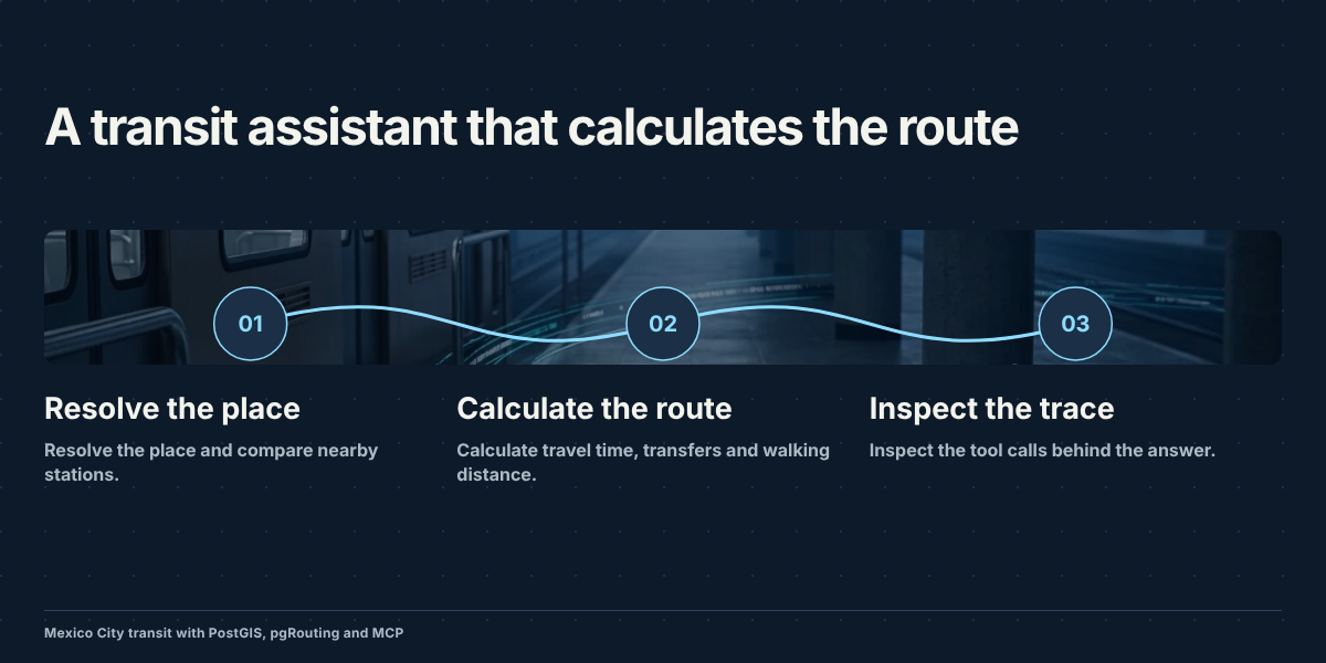
Recorded demonstration. Unmute the player to listen.
What it does
Ask for a trip between stations or landmarks. The assistant uses MCP tools to resolve places, find stations, and calculate a route through the stored transit network.
The map and trace let you inspect the returned route and the calls behind it. The saved network has dated coverage, so calculated journeys are estimates under those data assumptions.
How it is built
The technical post explains GTFS ingestion, graph costs, transfers, spatial queries, and the boundary between the language model and the route calculation.
I Built a Transit Assistant That Has to Calculate the Route