 latent
Project showcase
Investigating the Gulf oil spill
A geospatial investigation built to challenge the Mexican government’s account of the oil spill using vessel records, satellite layers, and dated statements.
React · MapLibre · Global Fishing Watch · Satellite imagery
Read technical article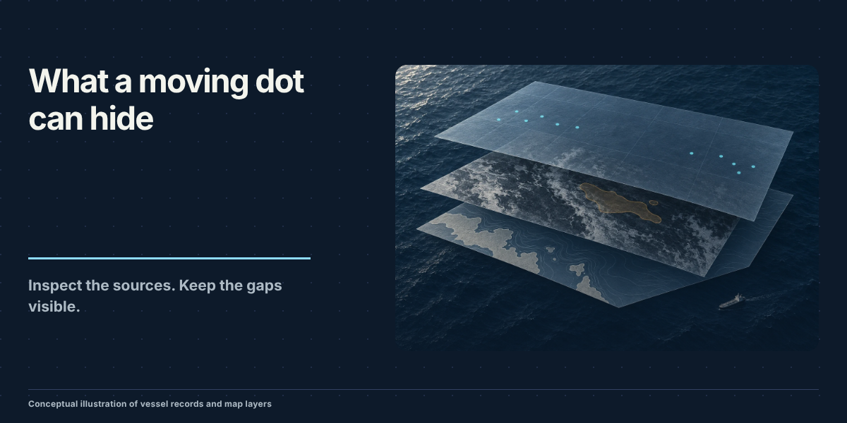
Narrated investigation. Unmute the player to listen.
What it does
I built this app to make the contradictions in the official account visible. It brings vessel positions, pipeline locations, detections, and a timeline into one map for comparison.
The narrated video uses the project’s two original recordings. The first compares vessel movement and infrastructure; the second shows the radar view. The technical post connects those views to their source records and explains the gaps and interpolation.
How it is built
The technical post explains the data pipeline, time alignment, interpolation, and the evidence behind the investigation, including the change in Pemex’s account.
What a Moving Dot Can Hide: Building an Oil-Spill Data Explorer